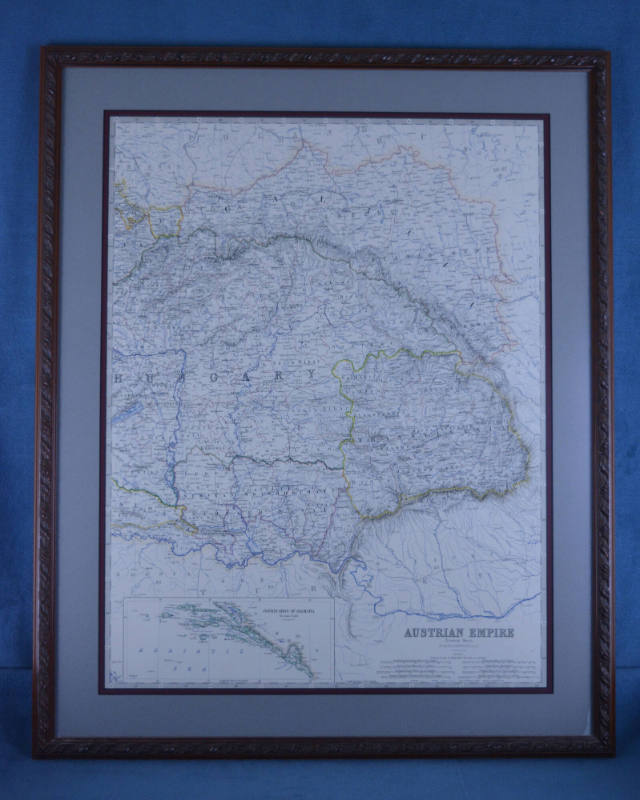
Map, Framed
Object number2018.093.0017
Date1873-1877
Mediumpaper, metal, glass
DimensionsOther: 22.75 × 28.25 in. (57.8 × 71.8 cm)
DescriptionA matted and framed map of 19th century Hungary, including Slovakia. This area is referred to as the eastern sheet of Austrian Empire on the map.
On View
Not on viewCollections
1700-1799
1914
1923

1959
1959
1959
1959

1995
1890-1926