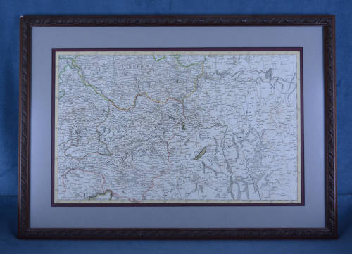
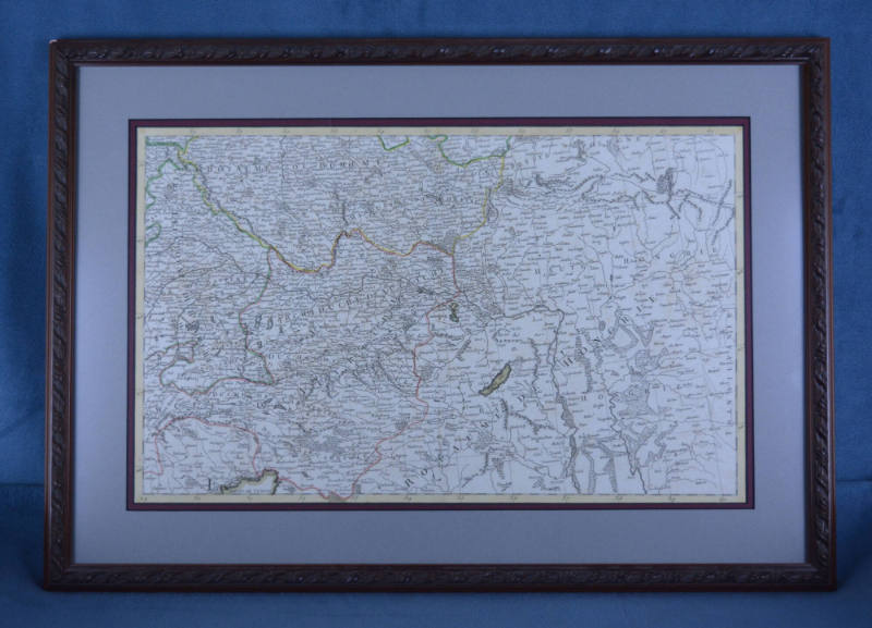
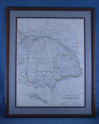
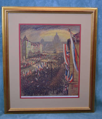
Map, Framed
Object number2018.093.0011
Date1700-1799
Mediumpaper, mat board, wood, glass
DimensionsOther: 24.5 × 17.25 in. (62.2 × 43.8 cm)
DescriptionA framed 18th century map of Bohemia, Moravia, and Upper hungary (Slovakia).On View
Not on viewCollections
1873-1877
1890-1926
1959

1918

1923
1914

1995